
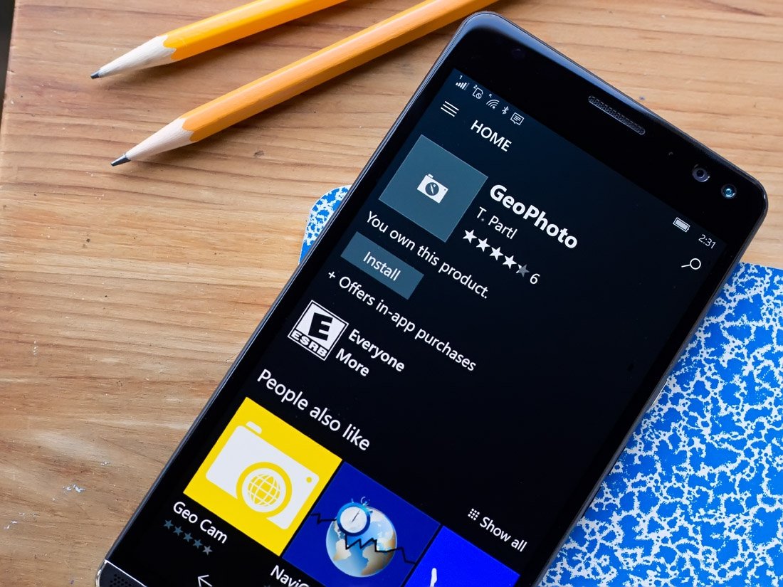
GeoPhoto is a simple Windows 10 app for viewing and plotting your photos and videos on a world map.
Available for Windows 10 PC and Mobile, GeoPhoto is an easy way to remember where you captured a photo or video footage, chart where your photo adventures have taken you, and add geotags to images that lack that information in their EXIF files.
This Windows 10 app is a free app, with the option to upgrade to a premium version for $2.99. However, with the help of this week's myAppFree promotion, you can pick up the GeoPhoto upgrade for free. The deal expires in 24 hours and is an excellent way to save a few bucks while adding a handy photography tool to your Windows 10 device.
Full story from the WindowsCentral blog...