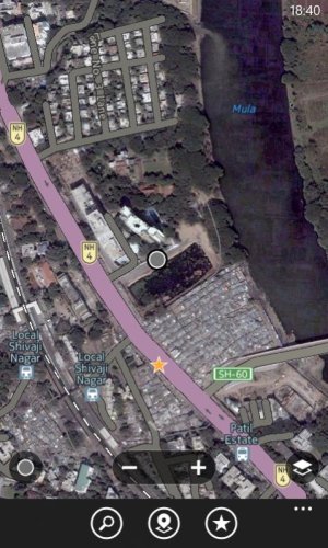
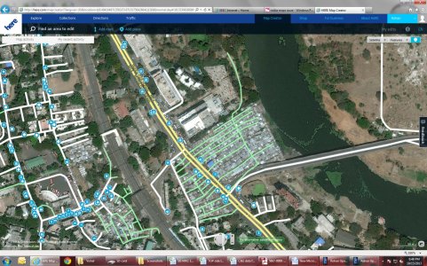
Secondary question...the map data/satellite images you see on HERE.com; do they match what you see on your phone?
Just an FYI, I live in a city of about 800k. Not nearly 5 Mil, but big.
It also depends on what level you are looking into to how recent the Google images are...It is pretty funny looking, but when I zoom in on that road I mentioned earlier, when I am in any of the satellite views on Google (straight top view) it is a picture from about 2006-2007 era. But when you change over to the 45 degree view (looks like it was taken from an airplane?) the picture updates to something closer to 2010+. So obviously their Satellite views are dated, but they do have recently updated pictures too.
*To add, when I go to Street View, you snap the little guy onto the road that I know is in the wrong location, it zooms me into the street in it's new location...JUST WEIRD, haha.*
When I go to HERE.com and look at the same spot, in the satellite view it is that 2010+ picture, but when I move to their airplane pictures (they call it "3D mode") it is all still 2010+ pictures. I believe that is just software differences though, not actually different photographs.
For ALL programs, the Map data is all based on the road from 2007 still, so when I am driving through it now, it yells at me to get back onto the road (and directs me to move south ~50 feet, which is now a new parking lot) hahaha


